IN CUYAHOGA COUNTY, MANAGED BY CLEVELAND METROPARKS
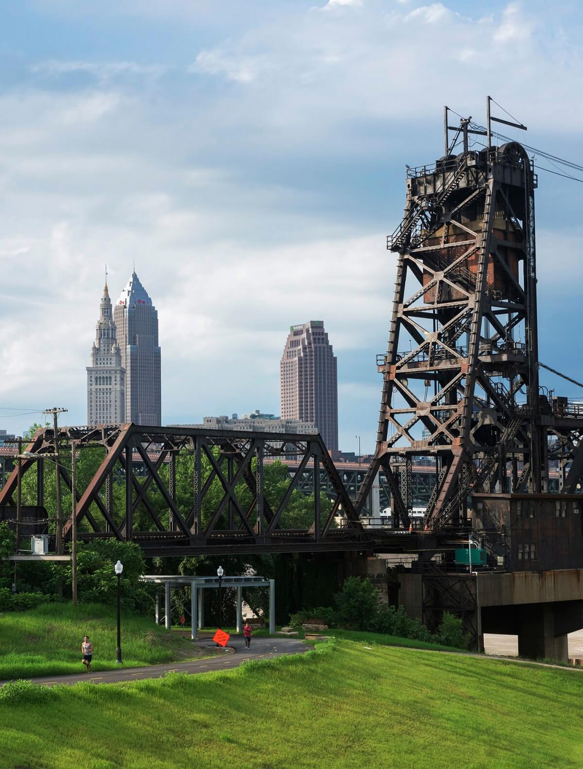
The northern most terminus of the Towpath Trail in Cuyahoga County is at the future site of Canal Basin Park in downtown Cleveland. This is where the Ohio & Erie Canal met the Cuyahoga River. The trail heads south to Scranton Flats, the first publicly funded section of Towpath Trail in the City of Cleveland, through the Tremont neighborhood and continues to Harvard Avenue. The Towpath Trail in the City of Cleveland stretches 5 miles, and connects to the trail in the Ohio & Erie Canal Reservation in Cuyahoga Heights. The Towpath Trail heads into Cuyahoga Valley National Park just south of the reservation.
The Towpath Trail in Cuyahoga County is mostly lit and is regularly cleared of snow in winter months.
Cuyahoga County — Towpath Fast Facts
- Number of Towpath miles: 11 miles
- Number of Trailheads: 10
- Surface: Paved
- Key Visitor Center: The CanalWay Center in the Ohio & Erie Canal Reservation is a great place to learn about the historic canal and where you can see the northern most section of the watered canal.
IN CUYAHOGA VALLEY NATIONAL PARK
Only in the National Park, the Towpath Trail is accessible 24-hours-a-day, providing unique opportunities to see nocturnal wildlife and get a workout in no matter what your schedule. (Note: Helmet lights required at night, as the trail is not lit.)
Be sure to stop at the Canal Exploration Center at Lock 38 along the America's Byway to learn about 12,000 years of local history and check out a lock that’s been restored to its 1905 condition. Take in the sights and sounds of nature as you head further south into Pinery Narrows — a gorgeous, 2.7-mile stretch of trail south of historic Frazee House — as the Trail swings deeper into parklands. Continue on to Boston, one of Summit County’s oldest settlements, where you can take a hike over to the magnificent, 63-foot Brandywine Falls, located just about a mile west of the Towpath Trail, before continuing on to the charming village of Peninsula — where hungry hikers and bikers can grab a bite at Winking Lizard Tavern and Fisher’s Café & Pub.
The popular Beaver Marsh can be found just north of the Ira Road Trailhead as you head towards the southern boundaries of the National Park.
How long is the Towpath Trail in Cuyahoga Valley National Park?
The Towpath Trail traverses 20 miles of the national park and connects it to the Cleveland Metroparks Ohio & Erie Canal Reservation to the North and Summit Metro Parks to the South.
Cuyahoga Valley National Park — Towpath Fast Facts
- Number of Towpath miles: 20
- Number of Trailheads: 13
- Surface: Level, Hard-Packed, Crushed Limestone
- Key Visitor Centers: Canal Exploration Center, Boston Store Visitor Center
IN THE SUMMIT METRO PARKS
Beginning in Botzum, where you can visit the scenic and historic Conrad Botzum Farm, continue your journey south to Old Portage and Cascade Locks — where you can see five of the 15 “staircase” locks that were once used to lift boats up a very steep escarpment. On summer weekends, stop in and check out the canal-era exhibits on display at the restored 1850s Mustill Store Visitor Center (managed by the Cascade Locks Park Association - CLPA). Then continue south into the heart of Akron.
While in Akron, the Akron Art Museum, Canal Park Baseball Stadium and the Richard Howe House Trailhead all make for terrific side trips, showcasing Akron’s culture, athletics and history. South of Downtown Akron, voyage across “The Divide” and an amazing floating portion of the Towpath Trail located at the southern tip of Summit Lake.
Summit Metro Parks — Towpath Fast Facts
- Number of Towpath miles: 22.4
- Number of Trailheads: 17 (Summit Metro Parks - 14)
- Surface: Hard Packed, Crushed Limestone
- Key Visitor Centers: F.A. Seiberling Nature Realm (SMP); Mustill Store Visitor Center (CLPA)
IN THE STARK COUNTY PARK DISTRICT
Now traveling along the Tuscarawas River, you’ll arrive at Canal Fulton, home of the St. Helena III, a working replica of a canal-era freight barge that offers 45-minute canal boat trips to Lock 4 Park and back.
Take a side trip to the Congressman Ralph Regula Canalway Center in Massillon, where you’ll experience the natural and cultural history of the Ohio & Erie Canalway as well as enjoy nature programs, wetland trails and boating. High Mill Bridge, Smith Mill, U.S. Boundary Marker — historic structures — are grouped together south of the Crystal Springs Park Trailhead.
Be careful finding the big rock along Erie Avenue that once marked the western border of our country! You can then stop at the Lake Avenue Trailhead to rent bicycles or canoes, have a bike repaired, get ice cream or a bite to eat, or pick up a new pair of running or hiking shoes.
Keep traveling south to the village of Navarre, home to the Mathews House Museum, and down through the rural farms of the Tuscarawas River Valley and Wildcat Basin. Visitor’s Tip: It should be noted that there are no trailside services between Navarre and Bolivar and that this stretch of the Towpath Trail also is open to equestrians.
Stark County Park District — Towpath Fast Facts
- Number of Towpath miles: 25
- Number of Trailheads: 13
- Surface: Crushed Limestone, mostly ADA Accessible
- Key Visitor Centers: Canal Fulton Canalway Center, Congressman Ralph Regula Canalway Center at Sippo Lake Park, Visitor amenities at Lake Avenue Trailhead
Visitor’s Tip: You’ll find a small road portion of the trail between Lincoln Way and Walnut, south of the Lake Avenue Trailhead. Call Stark Parks or ask at the Lake Avenue Trailhead for directions.
IN TUSCARAWAS COUNTY
South of Bolivar is the Fort Laurens State Memorial, Ohio’s only Revolutionary War-era fort, where you can enjoy vast parklands and take a moment to remember our heroes at a visit to the Tomb of the Unknown Patriot of the American Revolution. Continue your journey south to the German community of Zoar and the Canal Lands Park Trailhead - currently, the southernmost Trailhead on the Towpath Trail.
Wander through the historic Village of Zoar and don’t forget to stop at their stunning historic gardens or pick up a few things at the Zoar Store.
Tuscarawas County — Towpath Fast Facts
- Number of Towpath miles: 2.9 + 2.7 mile extension from Zoar to Zoarville
- Number of Trailheads: 3 - Newest - McDonnell Trailhead, just past the Aqueduct Bridge connecting Stark and Tuscarawas Counties
- Surface: Earthen, Level
- Key Visitor Centers: Ft. Laurens State Memorial, Village of Zoar
Visitor’s Tip: You’ll find an on-road section in the trail south of Shepler-Church Road - prior to where the Towpath picks up again at Fort Laurens. Call Tuscarawas County Park Department or the Ohio & Erie Canalway Coalition for directions.